After wettest August in 15 yrs, Delhi set to see above normal rain, cooler days, nights in September
How did your country report this? Share your view in the comments.
Diverging Reports Breakdown
After wettest August in 15 yrs, Delhi set to see above normal rain, cooler days, nights in September
In August, Northwest India topped all Met divisions in the country as it logged 614.2 mm of rain against 484.9 mm, nearly 27% above normal. Between June 1 and August 31, India as a whole received 743.1 mm rainfall, 6% above the long-period average of 700.7 mm. The Met department has forecast the country’s monthly average rainfall to be 109% of the long period average. August this year saw 621 very heavy and 101 extremely heavy rainfall events across the country, placing it among the most extreme months in recent years. This was second only to August 2024, which logged 762very heavy and 133 extremely heavy rain events. The intensity of rain has already had tragic consequences in the Capital. Earlier in August, a 52-year-old man died after a tree fell on him, and two minors lost their lives when a wall collapsed at Basant Nagar.
The Met department’s extended range forecast up to September 4 indicates above normal rainfall in Delhi and adjoining areas, including Haryana and Western Uttar Pradesh. Heavy rain in September could also potentially lead to localised urban flooding in Delhi and adjoining areas, as well as trigger landslides and flash floods in other regions, according to the IMD, even as there is a lesser risk in plains.
In August, Northwest India topped all Met divisions in the country — East and Northeast India, Central India and South Peninsular India — as it logged 614.2 mm of rain against 484.9 mm, nearly 27% above normal. East and West Uttar Pradesh, Delhi, Uttarakhand, Haryana, Chandigarh, Punjab, Himachal Pradesh, Jammu and Kashmir and Ladakh, West Rajasthan and East Rajasthan constitute the Northwest India division.
Story continues below this ad
During a briefing to reporters on Sunday, IMD Director General Dr Mrutyunjay Mohapatra attributed the heavy spells of rain in the national capital to the interaction of multiple western disturbances with monsoonal low-pressure systems, which unusually passed through UP and Haryana, instead of Odisha.
Between June 1 and August 31, India as a whole received 743.1 mm rainfall, 6% above the long-period average of 700.7 mm. Northwest India, during this period, received the highest rainfall in the country, and Delhi stood out with 400.1 mm in August alone against 233.1 mm — 72% above the seasonal average.
Dr Mohapatra said that five western disturbances impacted Northwest India last month. One of the two was registered between August 23 and August 27, and another active, especially strong, system was reported on Sunday. The repeated interactions of the systems with cyclonic circulations helped trigger intense rainfall spells over the Capital and surrounding regions, he said.
The IMD chief also highlighted a broader trend. Since the 1980s, rainfall activity in September has been rising, with monsoon withdrawal often delayed, thereby increasing the chances of above-normal rainfall continuing in the month.
Story continues below this ad
This year, the Met department has forecast the country’s monthly average rainfall to be 109% of the long-period average.
As per the IMD data since 2021, August this year saw 621 very heavy and 101 extremely heavy rainfall events across the country, placing it among the most extreme months in recent years. This was second only to August 2024, which logged 762 very heavy and 133 extremely heavy rainfall events.
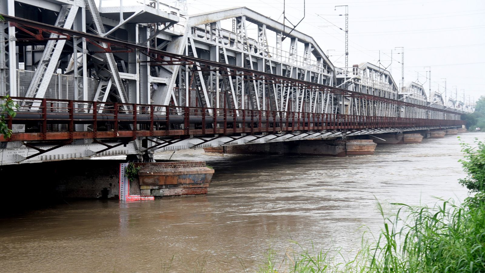
The intensity of rain has already had tragic consequences in the Capital. Earlier in August, a 52-year-old man died in Kalkaji after a tree fell on him, and two minors lost their lives when a wall collapsed at Basant Nagar, among other similar incidents. Thousands of people living along the Yamuna floodplains have also been forced to shift to relief camps.
On Saturday, the Yamuna went past the danger mark for the third time this month. On Sunday night, the water level stood at 205.12 m, slightly below the danger mark of 205.33 m
Story continues below this ad
Dr Mohapatra on Sunday also cautioned against the risks of mini cloudburst events, which can be defined as 5 cm of rain in an hour that he said could become more frequent due to climate change.